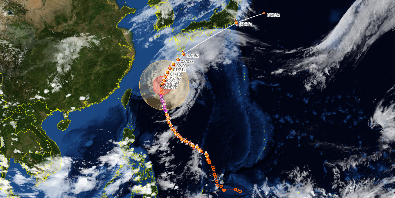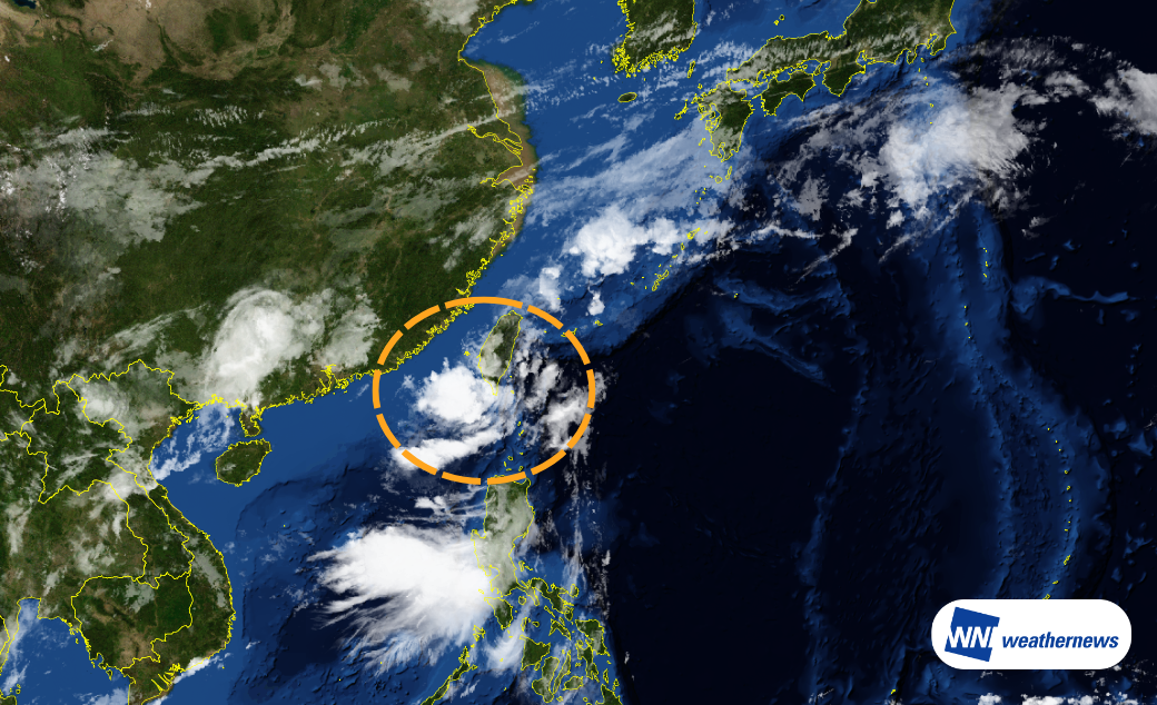
As of 09:00 JST on 5 June, a tropical depression located off the southwestern coast of Taiwan is moving northeast at around 10 km/h. The system is expected to continue tracking northeastward across the East China Sea, gradually intensify into a tropical storm, and reach southern Kyushu by the morning of 7 June. It is then forecast to transition into an extratropical system while moving along the southern coast of Honshu.
Passing Taiwan and Moving into the East China Sea
After passing southern Taiwan, the system is expected to move northeast across the East China Sea while gradually strengthening.
Possible Approach to or Landfall in Kyushu
Current numerical weather models indicate that the developing system will continue moving northeast, with a possible approach to or landfall in Kyushu. The projected track is broadly similar to that of Tropical Storm Jangmi (No. 6).
In this case, if the system reaches tropical storm strength, the time between development and arrival near Kyushu could be relatively short. As a result, impacts on flight operations and ground transportation may emerge soon after formation.
Widespread Impacts Possible After Extratropical Transition
Rapid intensification is not anticipated at this stage. However, as the system passes near western Japan, it is expected to transition into an extratropical low and may strengthen further as it moves eastward near Honshu.
Following extratropical transition, strong winds and heavy rainfall could extend well beyond the immediate vicinity of the center. Aviation operations across a broad area from western to eastern Japan may be affected.
Airport Impact Outlook
Taiwan
RCTP / TPE (Taiwan Taoyuan International Airport), RCSS / TSA (Taipei Songshan Airport)
RCMQ / RMQ (Taichung International Airport), RCKH / KHH (Kaohsiung International Airport)
Winds: Sustained winds are generally expected to remain below 15 knots.
Weather: Light rain is expected to be the dominant weather pattern from 6–7 June, although brief periods of heavier rain and isolated thunderstorms remain possible.
Japan
ROAH / OKA (Naha Airport)
Impact Period: 03:00–15:00 JST on 7 June
Winds: Sustained winds may increase to around 25 knots, with gusts approaching 40 knots.
Weather: Periods of heavy rain and thunderstorms are possible during the peak impact period, creating a risk of disruptive weather conditions.
RJBB / KIX (Kansai International Airport)
Impact Period: 12:00 JST on 7 June – 00:00 JST on 8 June
Winds: Sustained winds of 20–30 knots are forecast, with gusts exceeding 40 knots.
Weather: Rain and strong winds are expected, with the most significant impacts likely from late afternoon through the evening.
*Forecast confidence remains limited due to uncertainties in both track and intensity. Please continue to monitor the latest forecast updates.